Originally the village was built around the chapel of Tanya.
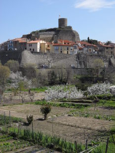
In the 11th century, the village passed under the domination of a noble family who strengthened its power by the building of a castle.
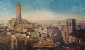
Pons Hug, Count of Ampurias inherited the castle. The Tower is all that remains of the keep of the castle of Laroque. The keep dominated the castle and the old village and was nearly 25 m high, but collapsed in 1890. It was protected by a ditch and a high wall. All around were the buildings belonging to the castle. The inhabitants built their houses outside the walls to protect themselves, and they erected ramparts.
In 1371, there was no longer room for new houses within the enclosure of the castle and the village expanded outside the fortifications (a suburb!). The keep was not intended to be inhabited, it served mainly as a watch-tower and communicated by signals with Elne and the towers located on the Albères ridge.
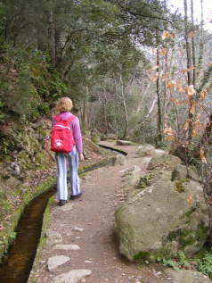
The irrigation network, still in operation today, is particularly important for watering the gardens. Most of these gardens are privately owned, but some are communal and available for rent. On the west side of the belvedere, you can see the gardens of the Florentine and there are other gardens all around the village.
orientation TABLES
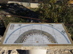
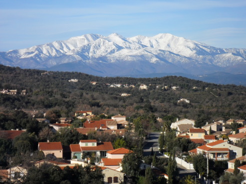
On either side of the Tower, there are two orientation tables to locate features in the landscape. In the south, is the Neulos peak (1256m), the highest point dominating the Albères range. To the west, the Canigou massif (2784m) and the foothills of the Pyrenees.
In the North, the plain of Roussillon and its numerous villages, in the East, the coastline and the Mediterranean.
 Welcome to